



How Precisely Can a UAV Locate a Methane Leak? A Pipeline Field Test in Xinjiang
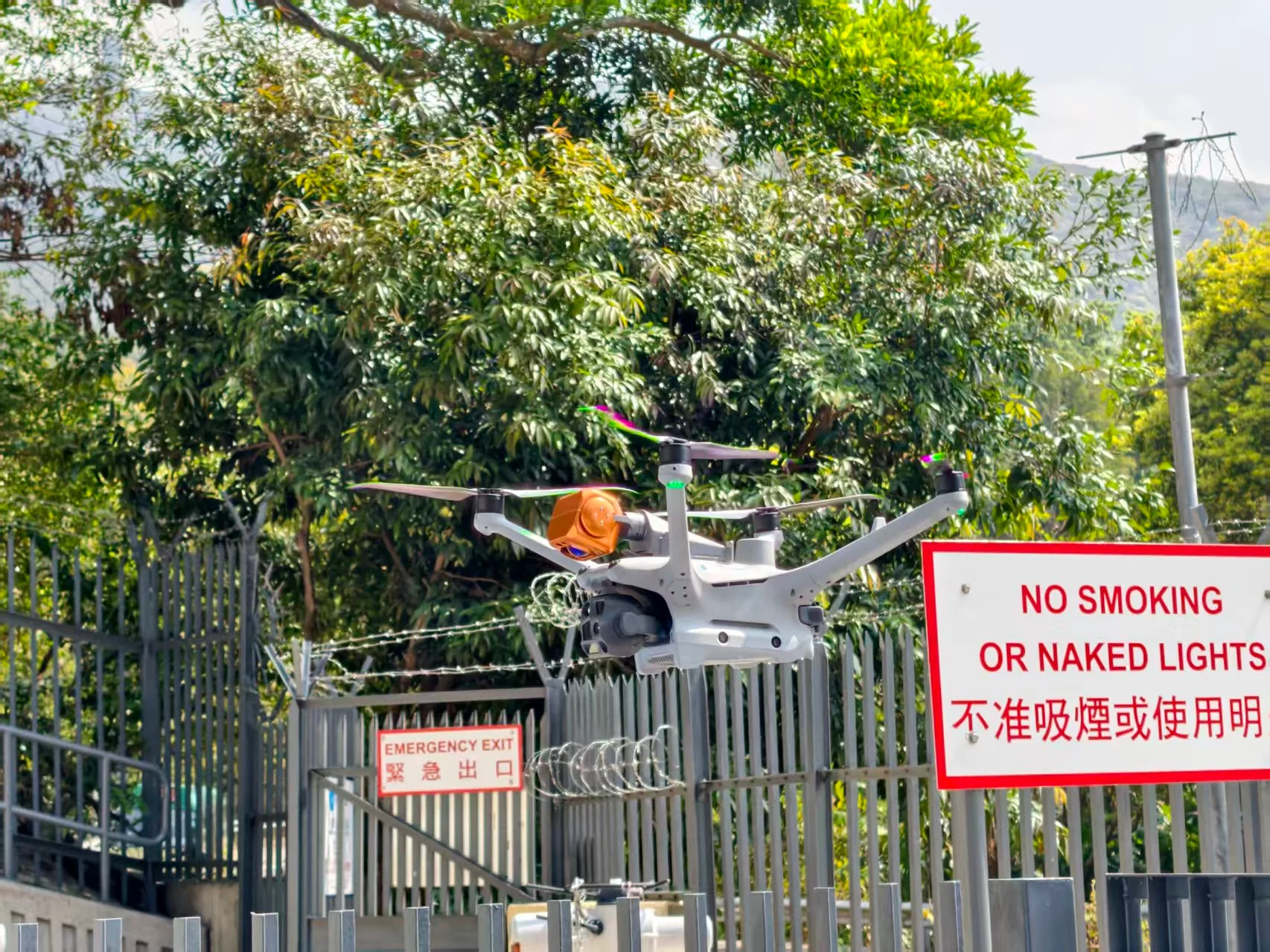
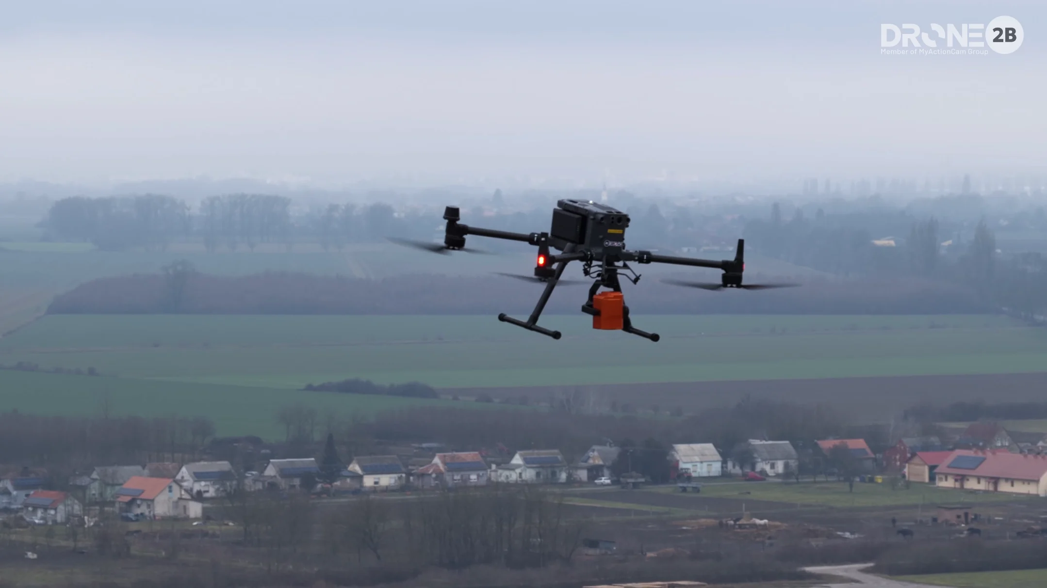
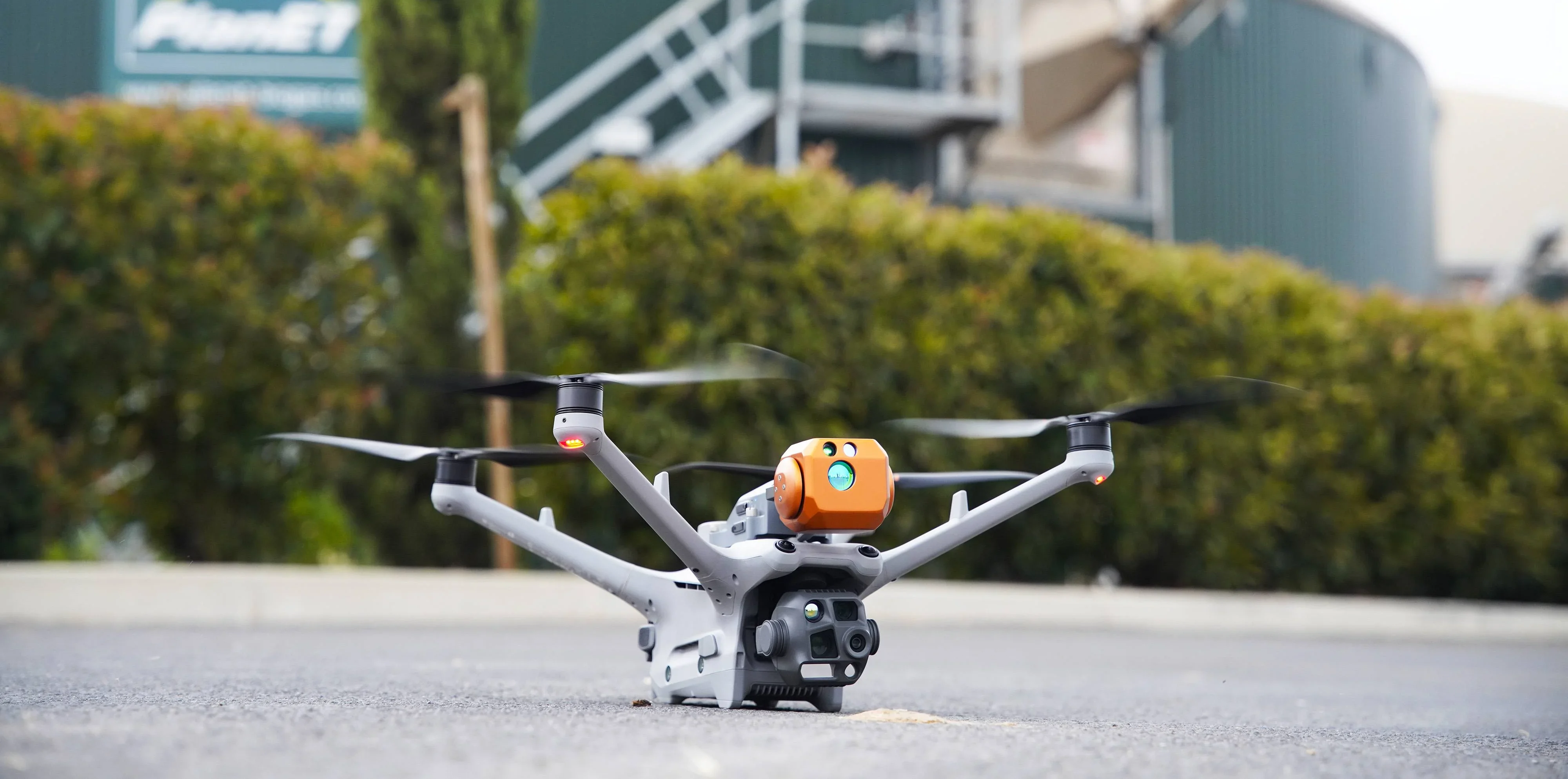
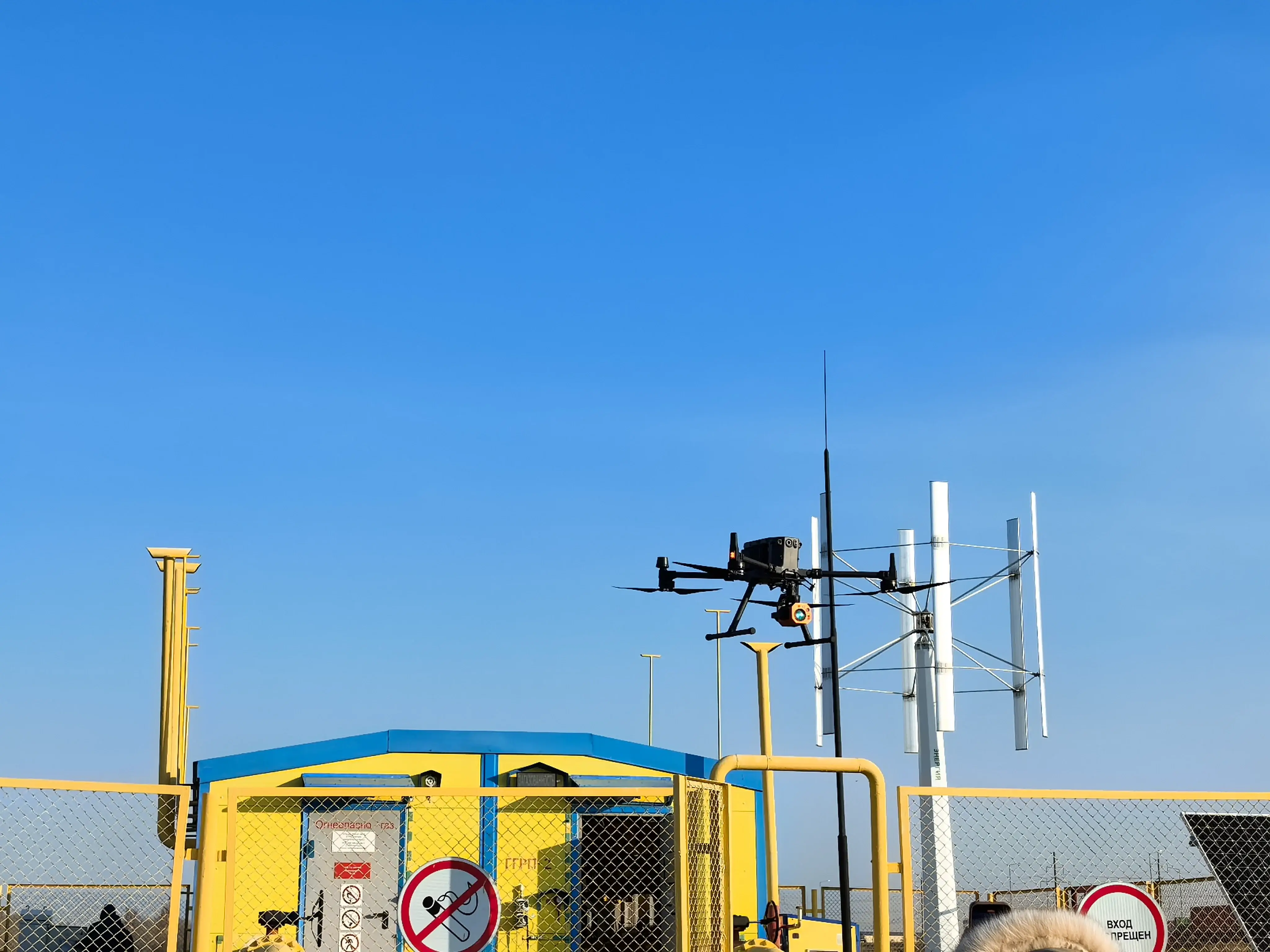
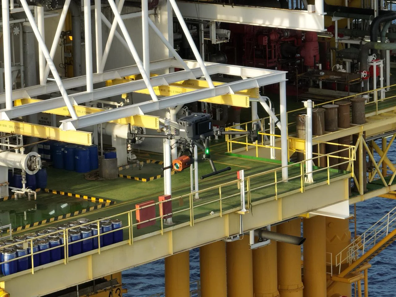
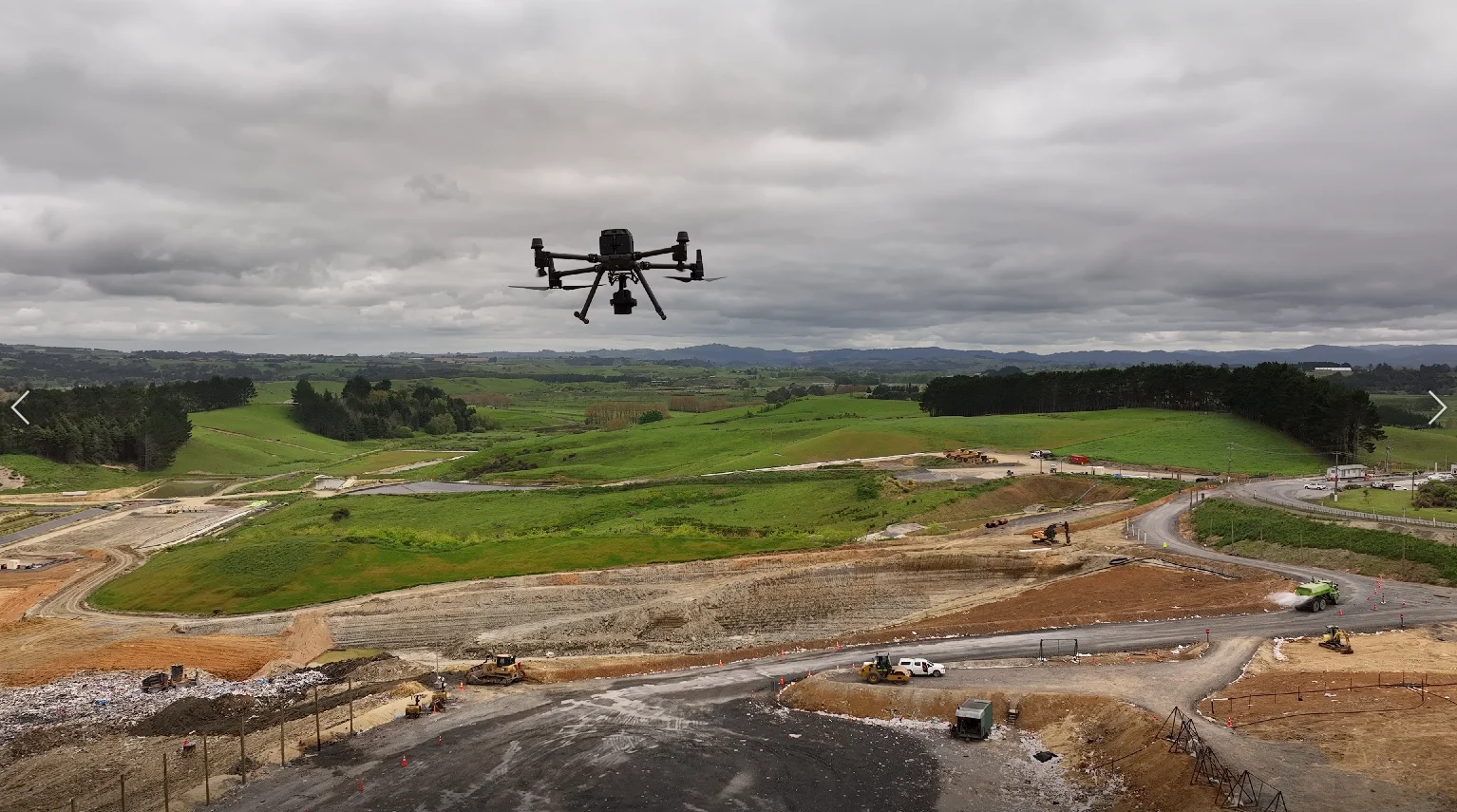
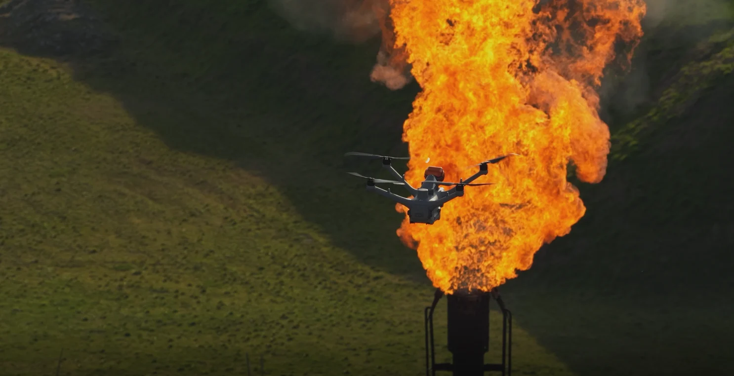
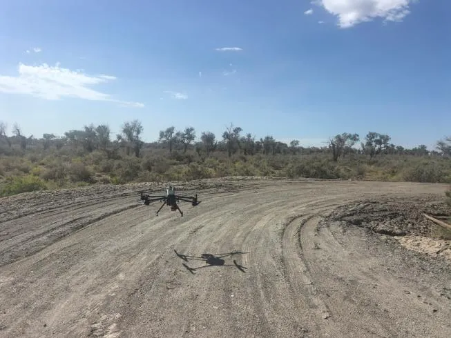
A customer in Xinjiang, China, conducted a field test using the BLV Technology BL-CH4 400 UAV-mounted laser methane detector integrated with a DJI Matrice 400 drone.
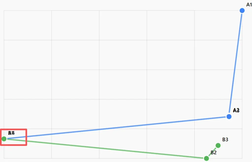
During the first flight, the system detected an elevated methane reading near a natural gas pipeline. To verify the result and further narrow down the affected area, the customer repeated the inspection along the same flight route.
The second flight detected another methane anomaly in a closely corresponding location. By comparing the position data from both flights, the field team identified a priority inspection area and subsequently confirmed the actual leak through a ground-level inspection.
This field test demonstrates how aerial methane screening and ground verification can work together to shorten the process from detecting an anomaly to locating its source.
Operational Challenges
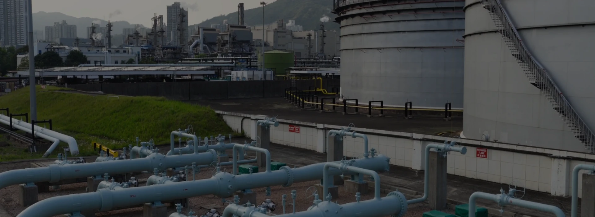
Oil, gas and chemical facilities in Xinjiang are often distributed across large areas and complex terrain. In these environments, inspecting long pipeline sections entirely on foot can be time-consuming and may require personnel to remain in potentially hazardous areas for extended periods.
The main operational challenge was not simply to detect methane, but to rapidly identify where field personnel should focus their investigation.
The inspection therefore needed to:
Cover an extended pipeline section efficiently
Detect methane without requiring direct contact with the gas plume;
Record the position associated with each elevated reading;
Verify whether an anomaly could be detected repeatedly;
Provide useful location data for subsequent ground inspection.
Solution
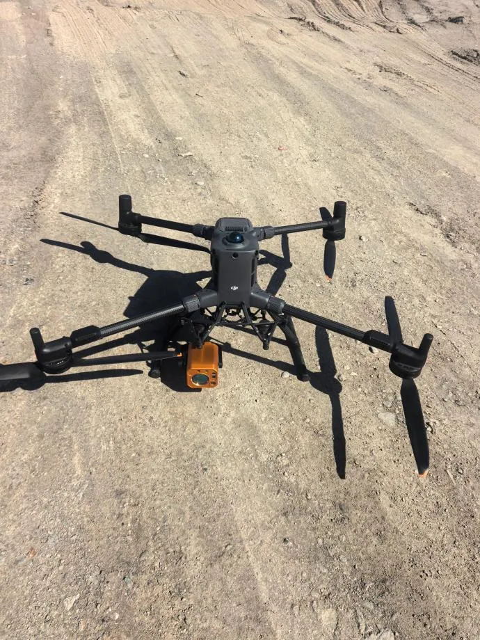
The customer deployed the BL-CH4 400 with a DJI Matrice 400 drone to conduct non-contact methane screening along the pipeline.
Based on TDLAS technology, the BL-CH4 400 measures the path-integrated methane concentration along the laser beam and reports the result in ppm·m. The detector supports measurement distances of up to approximately 300 metres, a sensitivity of 1 ppm·m and a response time of 5 milliseconds.
During flight, methane readings and corresponding position data were transmitted to CH4 Cloud for real-time monitoring and recording. When the measured value exceeded the configured alarm threshold, the platform marked the anomaly and stored information including the time, coordinates and methane reading.
Field Inspection Process
1. Initial Aerial Screening
During the first flight, the drone followed the planned route and scanned the target pipeline area.
As the drone passed a particular section, the methane concentration curve increased noticeably. CH4 Cloud triggered an alarm and recorded the location as a methane anomaly.
This initial detection allowed the team to identify a specific section of the pipeline for further investigation.
2. Repeat Flight for Position Verification
Methane plumes can move and disperse with the surrounding airflow. Detection results may also be influenced by flight altitude, scanning path, wind conditions and target reflectivity.
For this reason, the customer conducted a second independent flight along the same route.
During the second inspection, the system recorded another elevated methane reading in a closely corresponding location. The positional overlap between the two detections provided stronger evidence that the same area warranted focused inspection.
3. Ground-Level Leak Confirmation
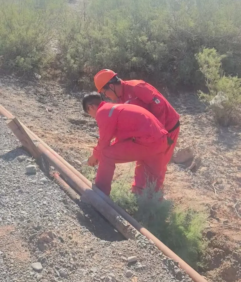
The coordinates recorded during the aerial inspections were used to guide the field team to the priority area.
Instead of manually checking the entire pipeline section point by point, personnel focused on components within the identified area, including valves, flanges and pipeline connections.
A handheld methane detector was then used for close-range verification, and the actual leak location was confirmed.
Results
The inspection established a complete workflow:
UAV screening of the wider area → repeated detection and position comparison → targeted ground inspection → confirmation of the actual leak
The principal outcomes included:
A methane anomaly was detected during two independent flights;
Both detections pointed to the same priority inspection area;
The aerial data reduced the length of pipeline requiring detailed ground investigation;
CH4 Cloud retained the alarm time, coordinates and concentration data for review;
The field team successfully confirmed the actual leak using a handheld detector.
What Does “Precise Localization” Mean in TDLAS Inspection?
A TDLAS methane detector measures the accumulated methane concentration along the laser path. It identifies where an abnormal methane reading is detected, but it does not automatically identify the exact physical component from which the gas is escaping.
The coordinate displayed by the software should therefore be understood as the location associated with the detected methane anomaly—not necessarily the exact leak point.
Wind direction, plume dispersion, flight altitude, scanning geometry and other site conditions can create a spatial difference between the recorded anomaly and the physical source.
For this reason, UAV-based TDLAS inspection is particularly effective for narrowing a large search area. The final leak point should still be confirmed through close-range inspection based on actual site conditions.
Why This Project Matters
This field test shows the practical value of combining aerial methane screening with ground-level verification.
The BL-CH4 400 helped the customer move from inspecting a long pipeline section to investigating a clearly defined priority area. Repeating the flight provided additional positional evidence, while CH4 Cloud created a traceable record of the detected anomalies.
By connecting wide-area aerial screening, location-based data analysis and targeted ground confirmation, the workflow provides a more focused approach to routine methane inspection across pipelines and other distributed industrial assets.
Equipment Used
BL-CH4 400 UAV Laser Methane Detector
TDLAS methane detection technology;
Non-contact detection at distances of up to approximately 300 metres;
Sensitivity: 1 ppm·m;
Response time: 5 ms;
Compatible with DJI Matrice 350 RTK, DJI Matrice 400 and other industrial UAV platforms;
Real-time methane data and position recording;
Integration with CH4 Cloud for data visualization, alarm review and reporting.
Conclusion
The Xinjiang field test demonstrated that the BL-CH4 400 can support methane anomaly screening and location-based investigation under real operating conditions.
Two independent flights detected elevated methane readings in a closely corresponding area. The recorded coordinates then guided the field team to a focused inspection zone, where the actual leak was confirmed using a handheld detector.
The case also highlights an important distinction: UAV-based TDLAS systems locate methane anomaly areas, while the exact leak source is established through targeted on-site verification.
Together, these methods create a practical inspection workflow that moves from efficient wide-area screening to focused leak confirmation.
Disclaimer: This case study is based on the results of a specific field test and is provided for informational purposes only. It does not constitute a performance guarantee or purchasing recommendation. Methane detection results may vary depending on wind conditions, ambient temperature, flight altitude, leak rate, scanning geometry, surface reflectivity and other site-specific factors. Final leak locations should be verified using appropriate ground-level inspection methods.